Loading
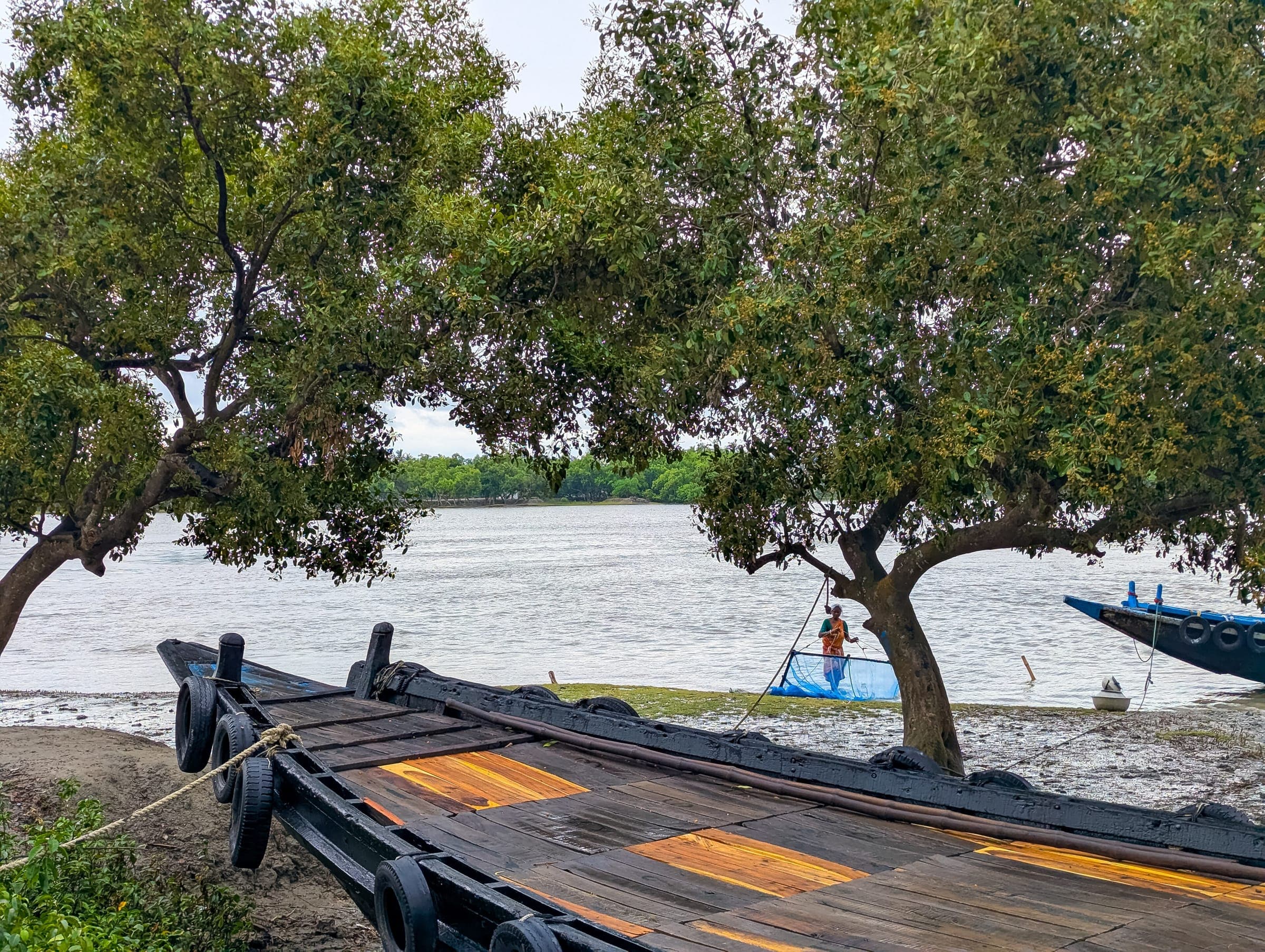
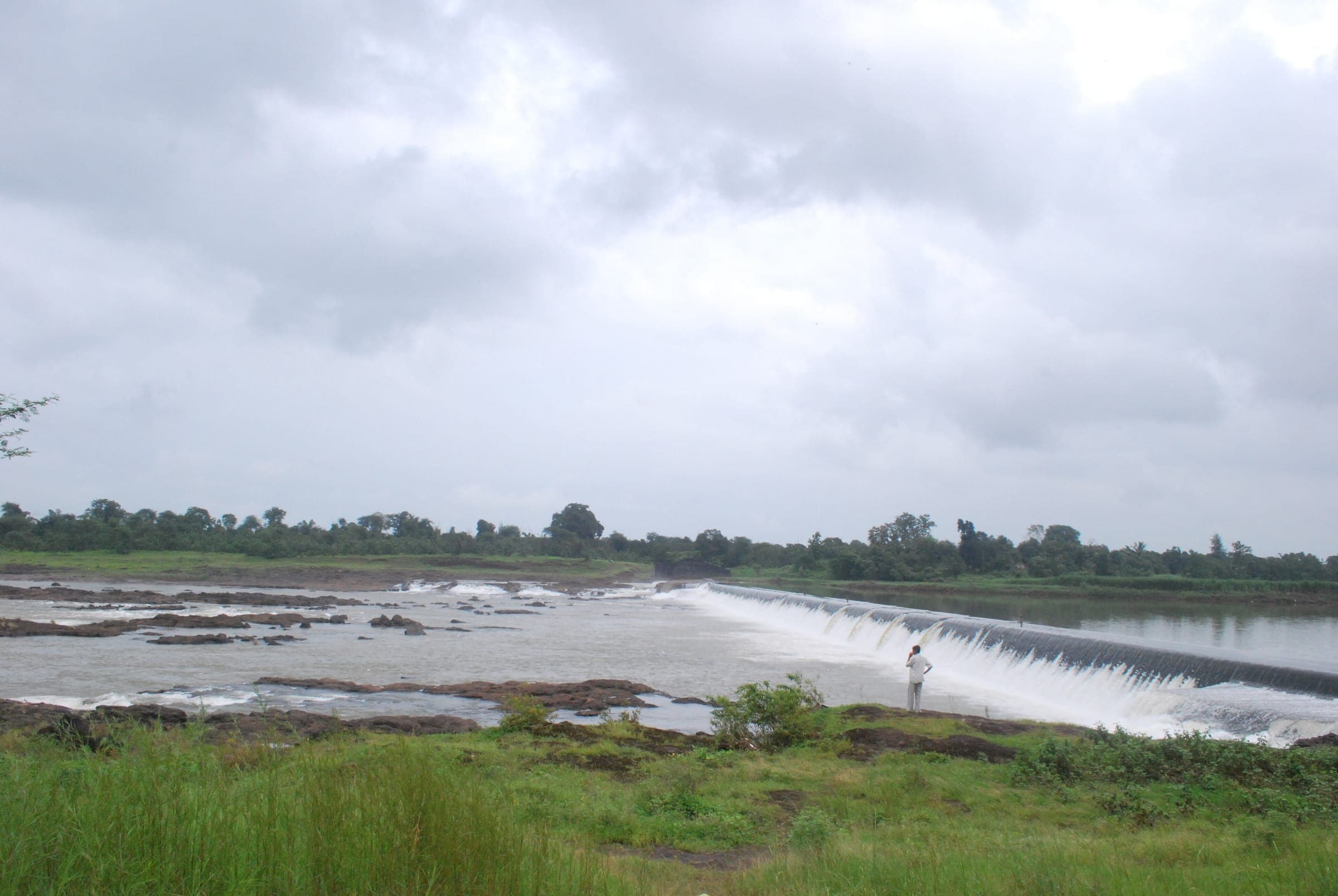
Photo: Raman Patel · CC BY 3.0 · Wikimedia CommonsGroundwater · recharge · digital twinPilot
Mapping hidden aquifers, recharging them, and building digital twins of ponds and rivers so villages can see and manage their water.
01The challenge
Villages depend on groundwater but rarely know how much they have or how fast it is falling. Decisions about wells and crops are made blind.
Monsoon rain runs off hard ground, while dry-season extraction outpaces natural recharge.
Geophysical surveys, satellite data and AI-assisted aquifer mapping identify viable groundwater and recharge zones.
Percolation pits, check dams and rainwater harvesting structures put monsoon water back into depleted aquifers.
Digital twins of watersheds and water bodies simulate rainfall, recharge and consumption, giving panchayats a predictive planning tool.
03Community
Built with village communities and local government planners, who use the models to decide where to recharge and how much to draw.
“For the first time, our village knows how much water we actually have, and how to make it last.”
04Impact
Figures are published once they have a source. Each carries its evidence status. How we measure.
Recharge structures built: figure pending verification
Estimated annual recharge: figure pending verification
Water bodies modelled: figure pending verification
Villages using the model: figure pending verification
05Field gallery
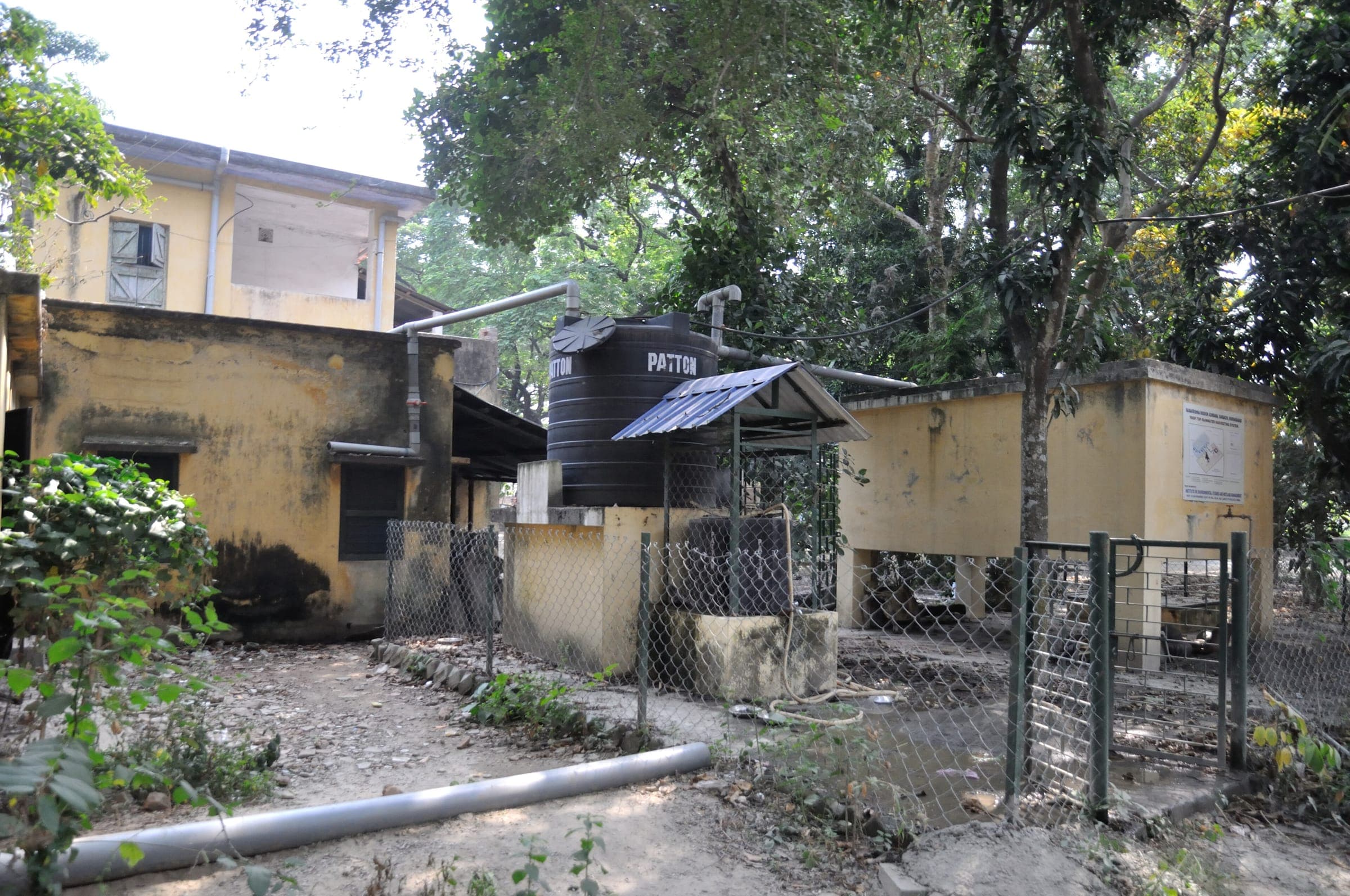 Photo: Biswarup Ganguly · CC BY 3.0 · Wikimedia Commons
Rooftop rainwater harvesting pipes feeding storage in Murshidabad, West Bengal
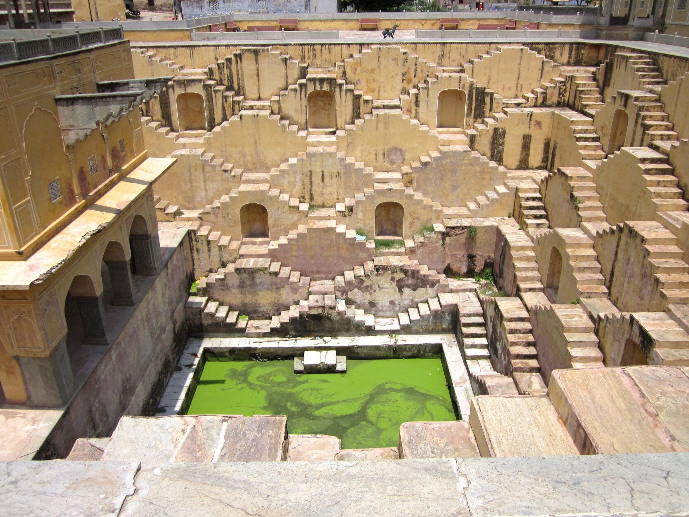 Photo: pradeep kumar chatte… · CC BY 3.0 · Wikimedia Commons
A historic Indian stepwell descending to groundwater, a reminder of traditional water engineering
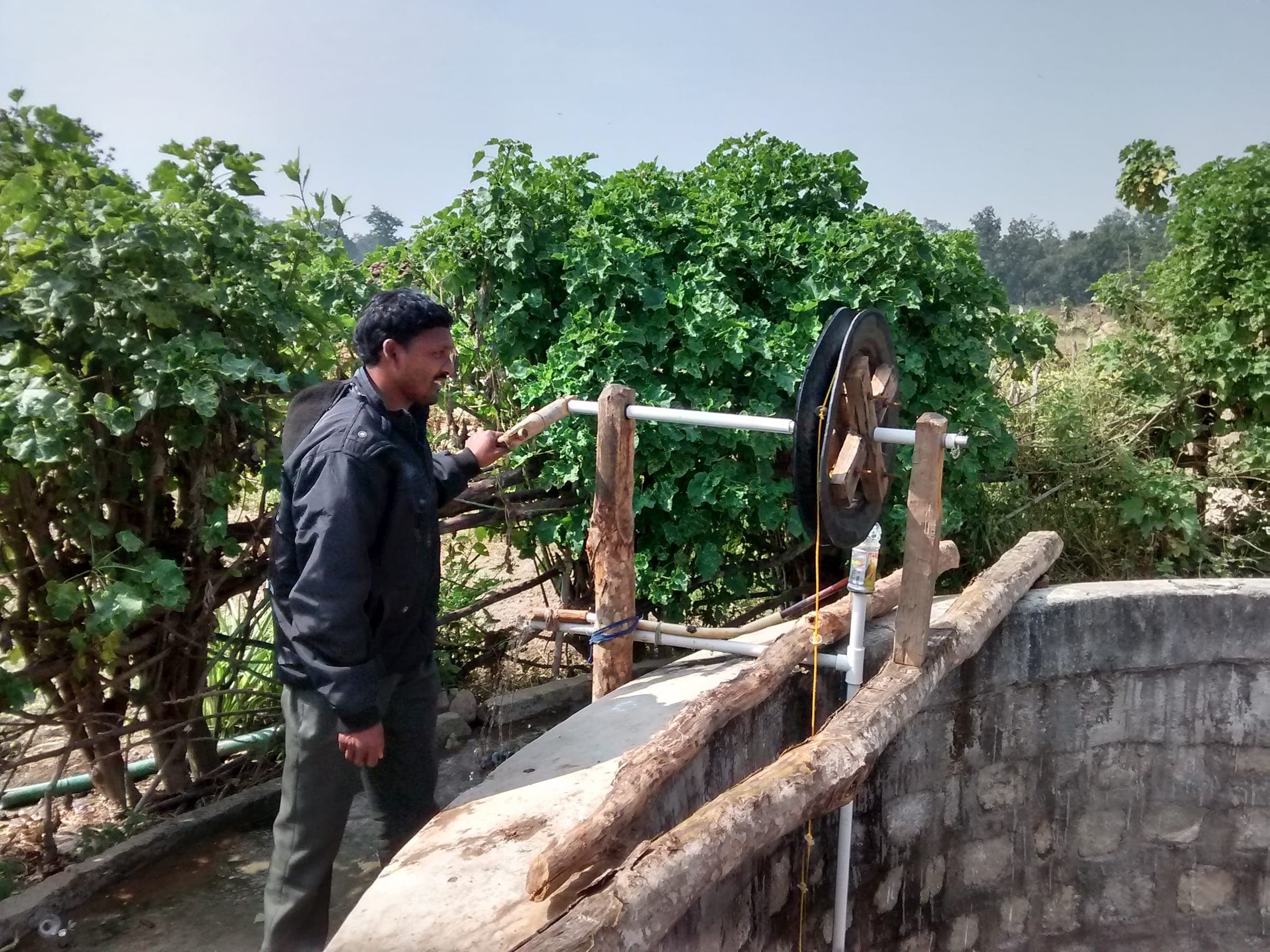 Photo: Prasoon Panthayi · CC BY 4.0 · Wikimedia Commons
A man drawing water from a well with a wooden pulley
Images are illustrative of the landscape and are credited under their Creative Commons licences. Field photography from Planet Mama projects will replace them.
Fund it, partner on it, or help us measure it better.