West Bengal · India
Mapping hidden aquifers, recharging them, and building digital twins of ponds and rivers so villages can see and manage their water.
Recharge structures builtPending verification
Explore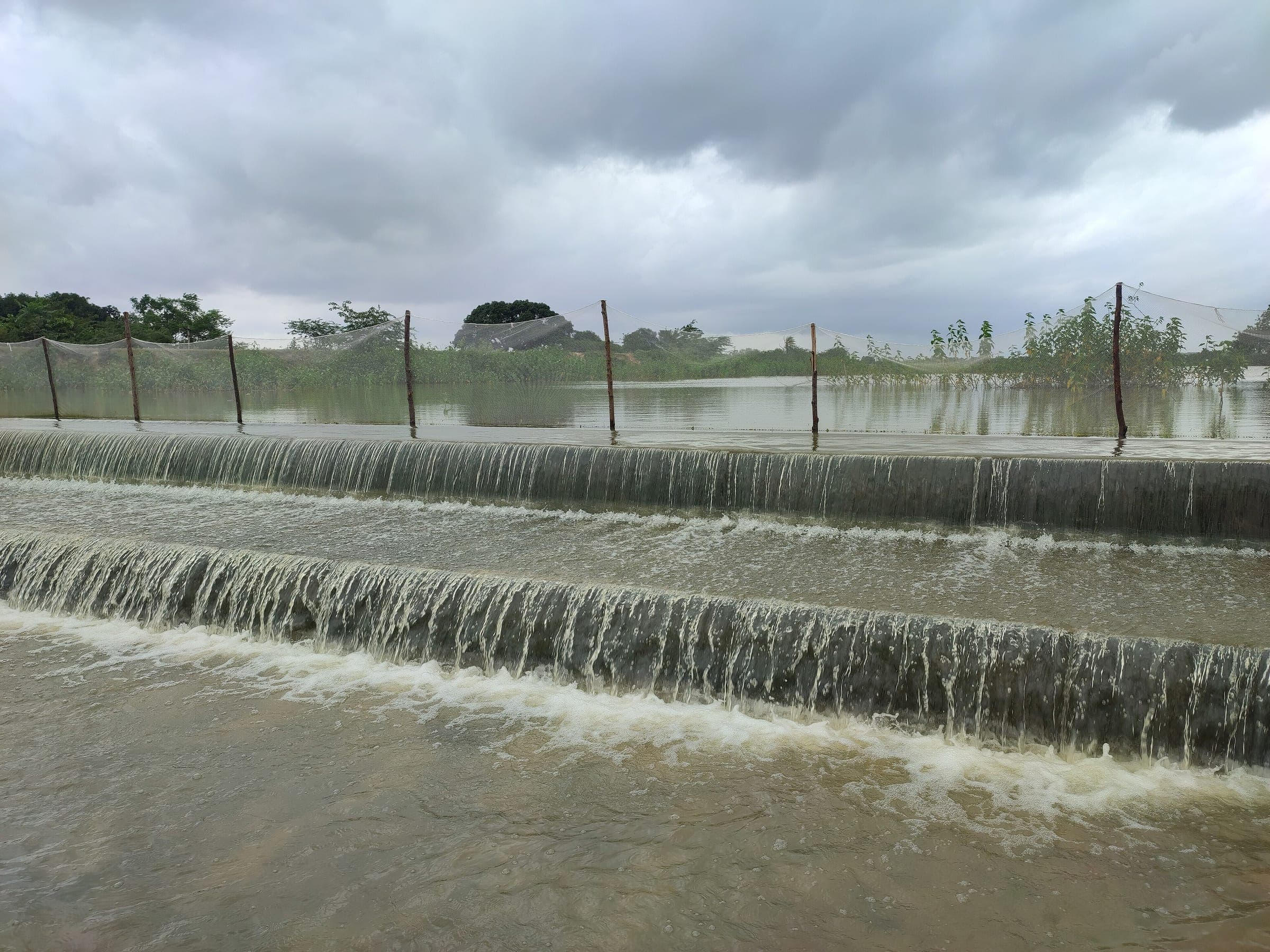
03 · Recharging aquifers and strengthening water security.
The challenge
Most rural water in India comes from underground, yet few villages know how much they have or how fast it is falling. Aquifers are over-drawn in the dry season, while monsoon rain runs off the land instead of soaking in.
Our approach
Geophysical surveys, satellite data and AI-assisted aquifer mapping to find viable groundwater in water-stressed areas and plan sustainable extraction with local government.
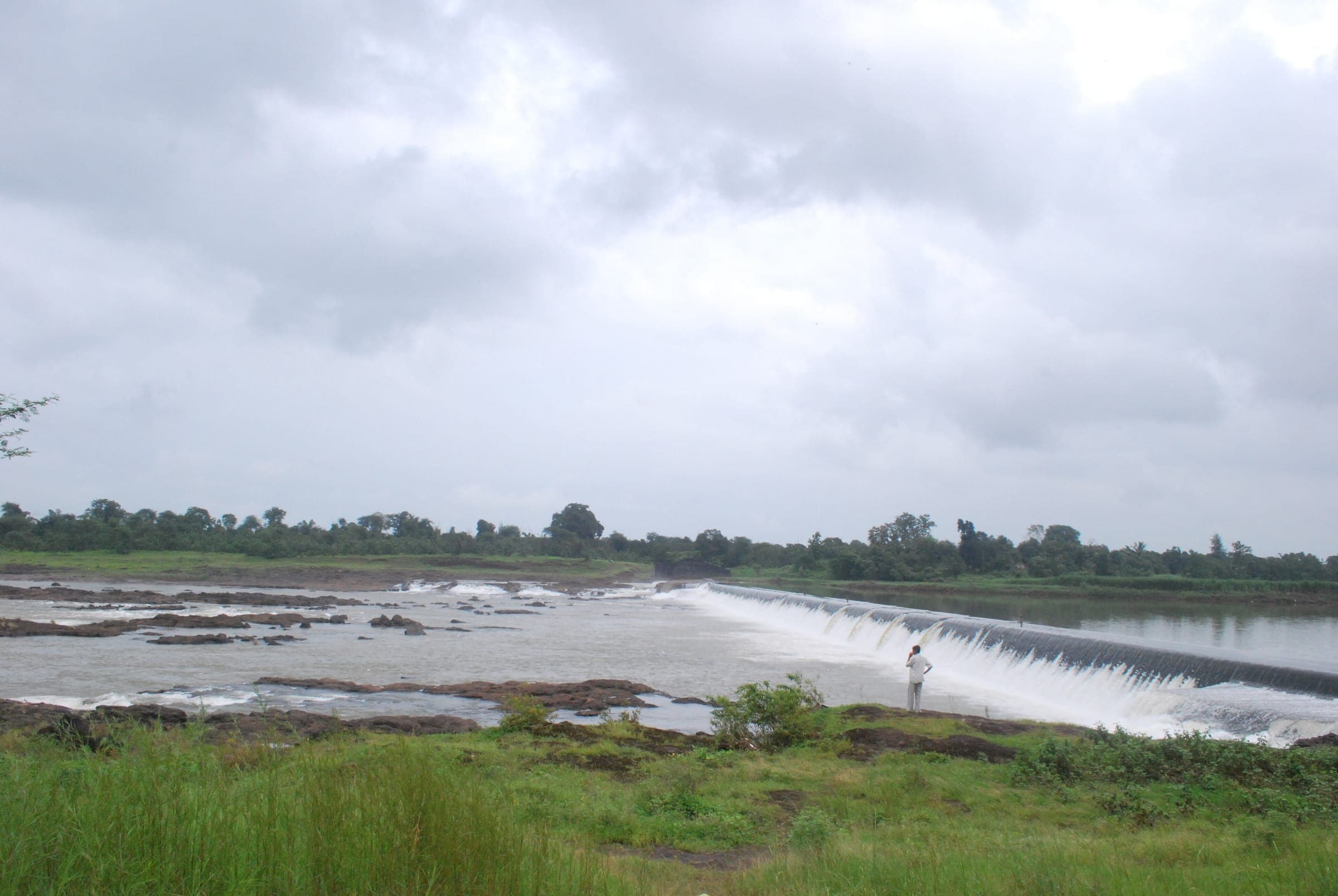
Percolation pits, check dams and rainwater harvesting that slow the monsoon down and put it back into depleted aquifers.
Virtual replicas of watersheds, rivers and ponds that simulate rainfall, recharge and use. They give planners a predictive tool instead of a post-mortem.
What we measure
Recharge structures built: figure pending verification
Estimated annual groundwater recharge: figure pending verification
Water bodies mapped with digital twins: figure pending verification
Projects
West Bengal · India
Mapping hidden aquifers, recharging them, and building digital twins of ponds and rivers so villages can see and manage their water.
Recharge structures builtPending verification
ExploreCoastal West Bengal · India
Harnessing sunshine and seawater to produce safe drinking water where groundwater has turned salty.
Litres of drinking water per dayPending verification
ExploreNorth 24 Parganas, West Bengal · India
Cleaning and reviving the ponds and small wetlands that store monsoon water, recharge aquifers and feed families.
Ponds and wetlands revivedPending verification
ExploreStories