Groundwater
A digital twin for a village pond
India is the world's largest user of groundwater. We're building tools that let a village see its water before it runs out.
Planet Mama6 min read
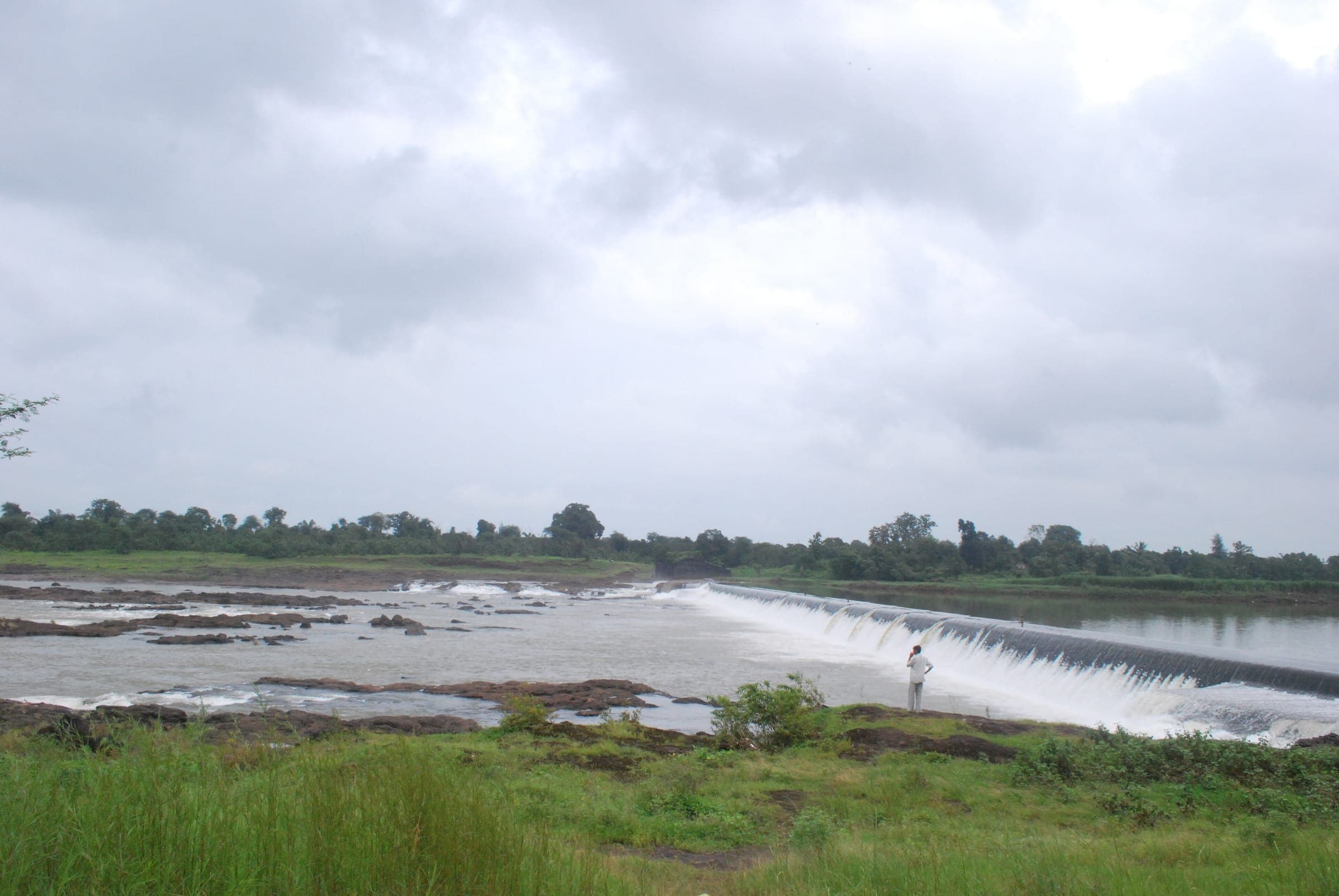 Photo: Raman Patel · CC BY 3.0 · Wikimedia Commons
Groundwater is invisible, so it is easy to overdraw. A well works until one dry season it doesn't. By then the aquifer may have been falling for years.
What a digital twin is
A digital twin is a virtual replica of a real water system (a pond, a river stretch, a watershed) that simulates how rainfall, recharge and use change the water over time. It is fed with survey data, satellite observations and local measurements, and it improves as more data arrives.
Why it matters to a village
- It shows how much water there is, not just whether the well works today.
- It tests decisions before they are made. What if we dig a recharge pit here? What if cropping changes?
- It turns a crisis into a planning problem, early enough to act.
“For the first time, our village knows how much water we actually have, and how to make it last.”
Combined with groundwater detection (geophysical surveys, satellite data and AI-assisted aquifer mapping) and recharge structures like percolation pits and check dams, digital twins close the loop between understanding water and restoring it.
West Bengal · India
Mapping hidden aquifers, recharging them, and building digital twins of ponds and rivers so villages can see and manage their water.
Recharge structures builtPending verification
Explore